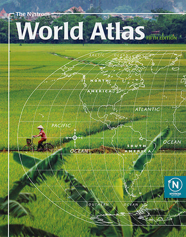
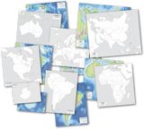
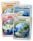

Atlases are key resources for teaching about the world and United States. Used as a reference for history and geography and outline mapping activities will improve development of critical thinking skills at all ages. We hand selected these atlases for their ease of use for school age students.
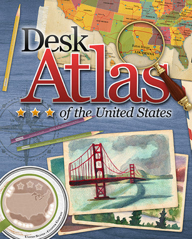
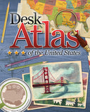
Be sure to check out our own Desk Atlas of the United States. It is perhaps the most unique and creative U.S. atlas on the market.